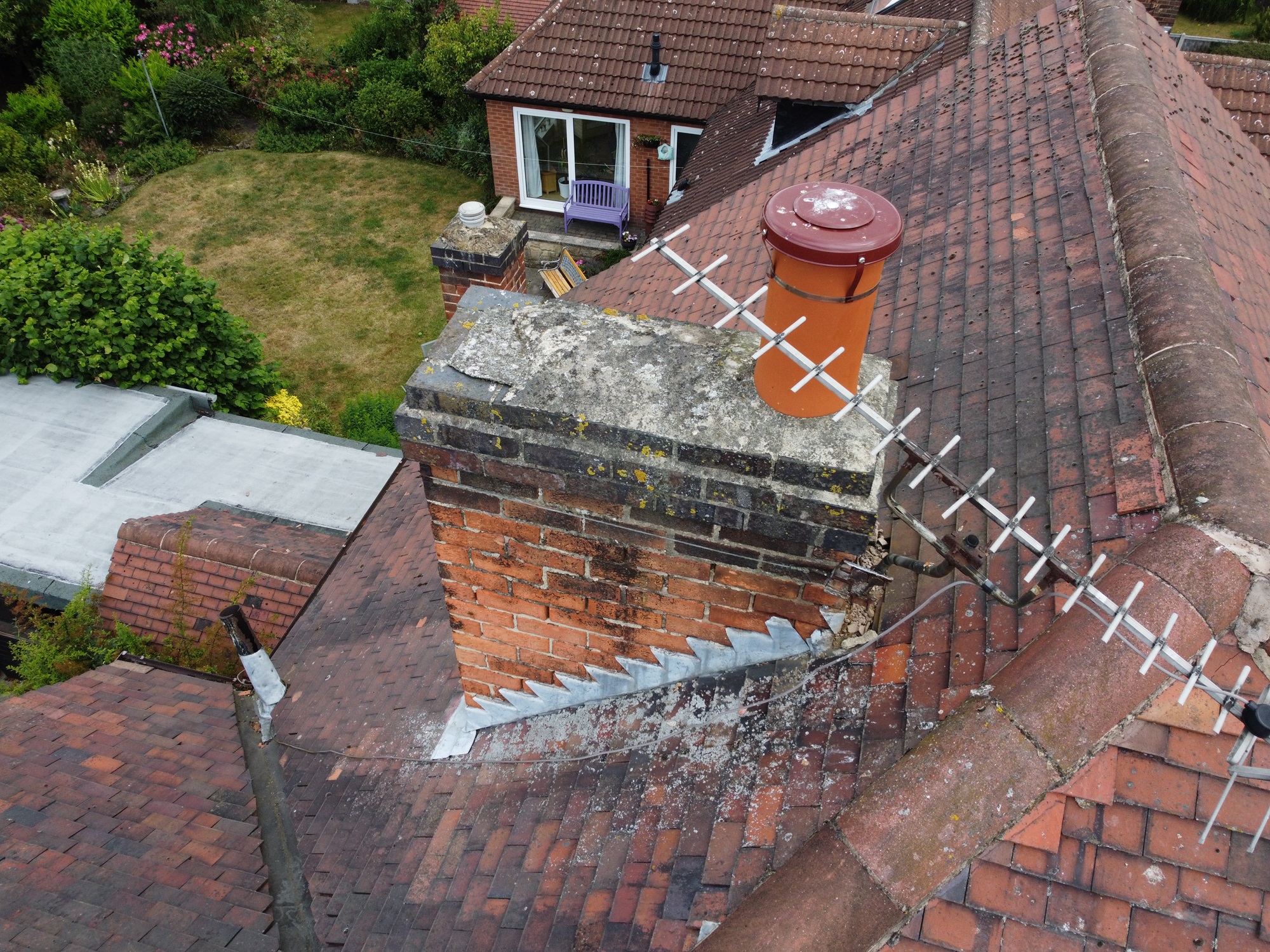
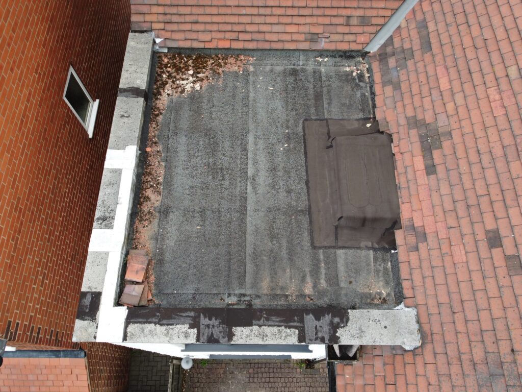
Drone surveys for roof inspections have become increasingly popular due to their efficiency, safety, and the detailed data they can provide. Here’s a comprehensive overview of how drone surveys are used for roof inspections:
Advantages of Drone Surveys for Roof Inspections
Safety:
Risk Reduction: Reduces the need for workers to climb onto roofs, minimizing the risk of falls and accidents.
Access: Can easily reach difficult or hazardous areas without the need for scaffolding or ladders.
Efficiency:
Speed: Inspections can be completed much faster than traditional methods.
Real-Time Data: Drones can provide real-time data and images, allowing for immediate assessment.
Cost-Effective:
Lower Costs: Reduces labor costs and the need for specialized equipment.
Minimal Disruption: Less intrusive than traditional methods, causing minimal disruption to the property.
Data Quality:
High-Resolution Images: Drones can capture high-resolution images and videos.
Comprehensive Coverage: Capable of surveying large areas and capturing comprehensive data.
Thermal Imaging: Equipped with thermal cameras to detect heat loss, water intrusion, and other issues not visible to the naked eye.

Process of Drone Roof Inspection
Preparation:
Site Assessment: Evaluate the site for potential obstacles and ensure it is safe for drone operation.
Permissions and Regulations: Obtain necessary permissions and ensure compliance with local aviation regulations.
Drone Setup: Check the drone’s equipment, including cameras and sensors, to ensure they are functioning properly.
Survey Execution:
Flight Planning: Create a flight plan that covers the entire roof area, considering flight altitude, speed, and pattern.
Data Collection: Conduct the flight, capturing high-resolution images, videos, and thermal data if necessary.
Monitoring: Monitor the drone’s flight to ensure it follows the planned path and collects all required data.
Data Analysis:
Image Processing: Process the captured images to create detailed maps and models of the roof.
Thermal Analysis: Analyze thermal images to identify potential issues like leaks or insulation problems.
Reporting: Compile the data into a comprehensive report, including annotated images and recommendations for repairs or maintenance.
Technologies and Tools Used
Drones:
Types: Quadcopters, hexacopters, and other multi-rotor drones are commonly used.
Cameras: High-resolution cameras, thermal imaging cameras, and sometimes LiDAR sensors.
Software:
Flight Planning: Software for planning and automating flight paths (e.g., DJI Ground Station, Pix4D).
Image Processing: Tools for stitching images into orthomosaics and 3D models (e.g., DroneDeploy, Pix4D, Agisoft Metashape).
Analysis: Specialized software for thermal analysis and report generation.
Challenges and Considerations
Weather Conditions:
Adverse weather like strong winds, rain, or snow can affect drone operation and data quality.
Regulatory Compliance:
Must adhere to local regulations regarding drone usage, including altitude limits and no-fly zones.
Data Security and Privacy:
Ensuring the collected data is securely stored and handled, respecting privacy concerns.
Drone surveys for roof inspections represent a significant advancement in building maintenance, offering a safer, faster, and more detailed method of assessing roof conditions. As technology continues to evolve, the capabilities and applications of drone inspections are likely to expand further.


